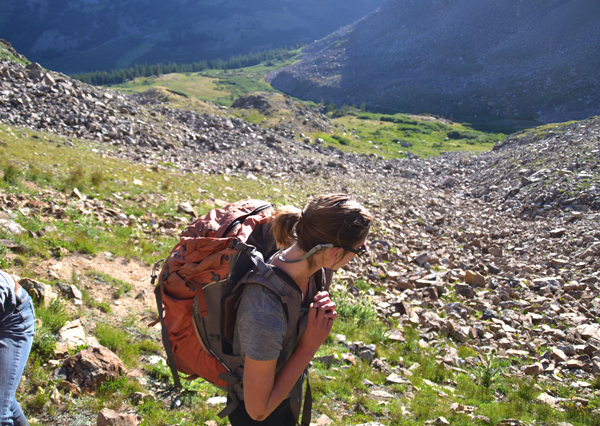
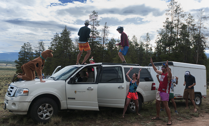
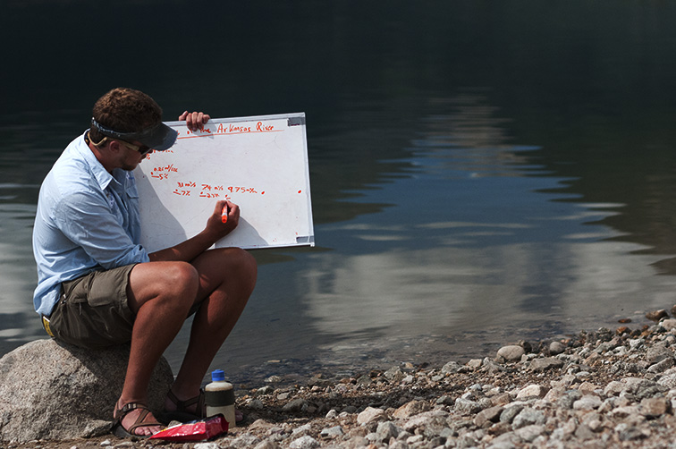
On Saturday, July 28th, five days into our 12-day field trip, with a only a week left of class, we were awoken by dance music blaring from the vans and the request of our professor to dress in an “intergalactic beach party” theme. Luckily most of us had remembered to bring what is known at CC as “flair” or really ridiculous things that are wearable. After a seriously hearty breakfast of bacon, eggs, cheese, cereal, oatmeal, coffee, orange juice, and grapefruit (and a dance party on top of the car) we drove to our first river and began collecting data on the watershed beginning at Mt. Arkansas. There were four “stations” of different data to collect, so we split into groups of four and each took a station. I was in station D, measuring general water quality by testing the temperature, pH, turbidity, and sampling rocks to see what percent had life on them and the number of species found on them.
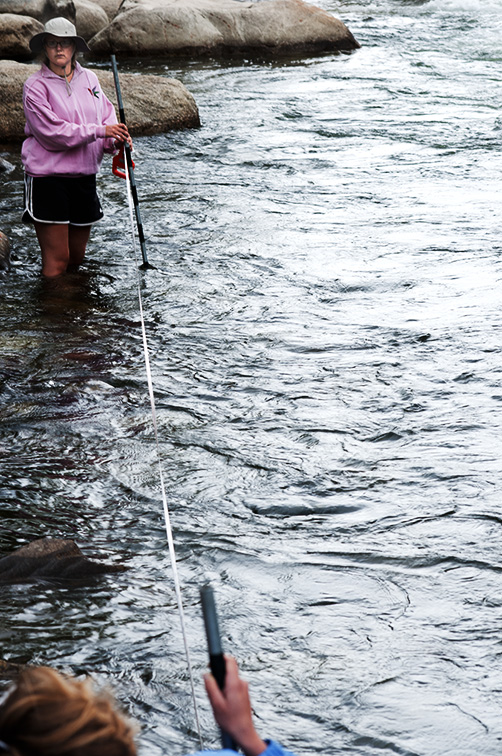
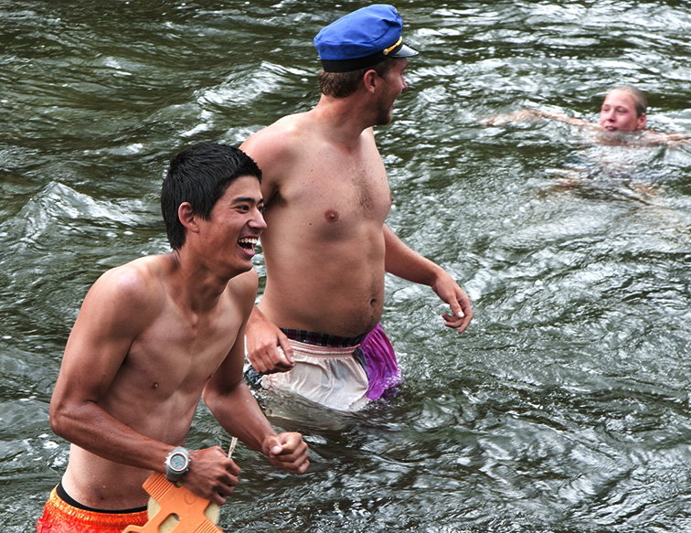
We stopped at four places that day, rotating stations as we went. Passersby were very curious, seeing us fording fast-moving waters with tape measures and stop watches. As we finished the last stop a thunderstorm rolled in, so we headed to our camp. After making dinner we all thought hot springs would be a good idea and went over to Princeton Hot Springs where the natural hot springs mix with river water in little rock pools. I’m not sure if people enjoyed the hot springs or the showers more.
On Sunday morning we prepared for our day on the river. We paddled in two-person duckies (inflatable kayaks) down the Arkansas river from Salida, CO. We stopped occasionally to learn some river terminology, collect more data for our hydrology project, eat lunch, and jump off big rocks into deep river pools. Austin made a fun video from that day:
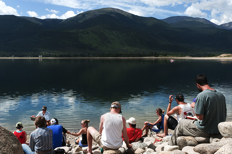
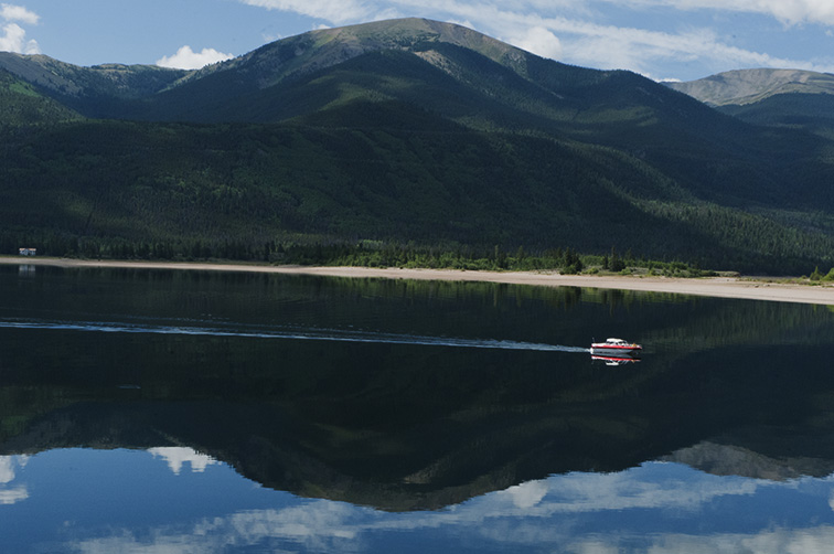
On Monday we drove to a reservoir as our last hydrology project stop to analyze all of the data we had collected to observe how rivers change as you move down them, and to talk about how humans affect the watershed by building dams and reservoirs and pumping water out of rivers. Colorado College is supporting a lot of research and awareness about this issue, especially regarding the Colorado River. A few students are kayaking the Colorado from source to sea (for the second time), gathering data and interviewing lots of people about watershed issues, with plans to make a film: http://www.downthecolorado.org/. It’s pretty inspiring to see recent alumni on such an important adventure.
We also had a class about mass wasting (geohazards) and for dinner Lauren, who lives in New Orleans, made delicious cheesy grits. We played Jeopardy that night to prepare for our third and final celebration of knowledge!
Tuesday we drove to a town to take our celebration (test) and Zion threw us a curveball with a completely new test format. He asked us to prepare a 2-3 minute presentation of a proposal for an independent research project related to something we had learned in the past week. We had to include background info, a central hypothesis, and proposed methods and analysis techniques. Intro science classes don’t often provide many opportunities for exercising creativity, so this format was actually a really enjoyable way to expand creatively upon something that we found interesting and to see where geology could take us if we wanted to pursue it further. I know at least one person in the class decided to switch their major to geology.
That night we drove to our last campsite, where we would be doing a mapping project as our final for the class.
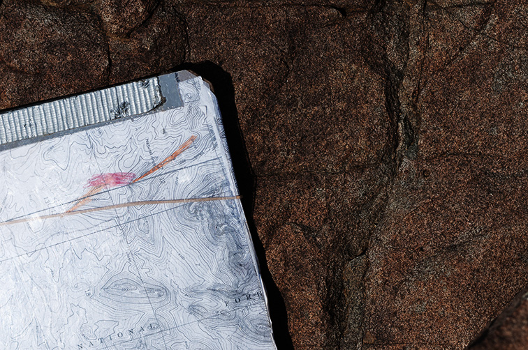
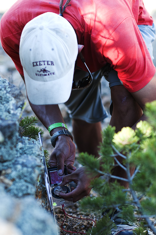
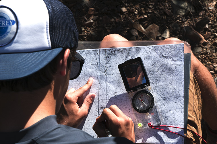
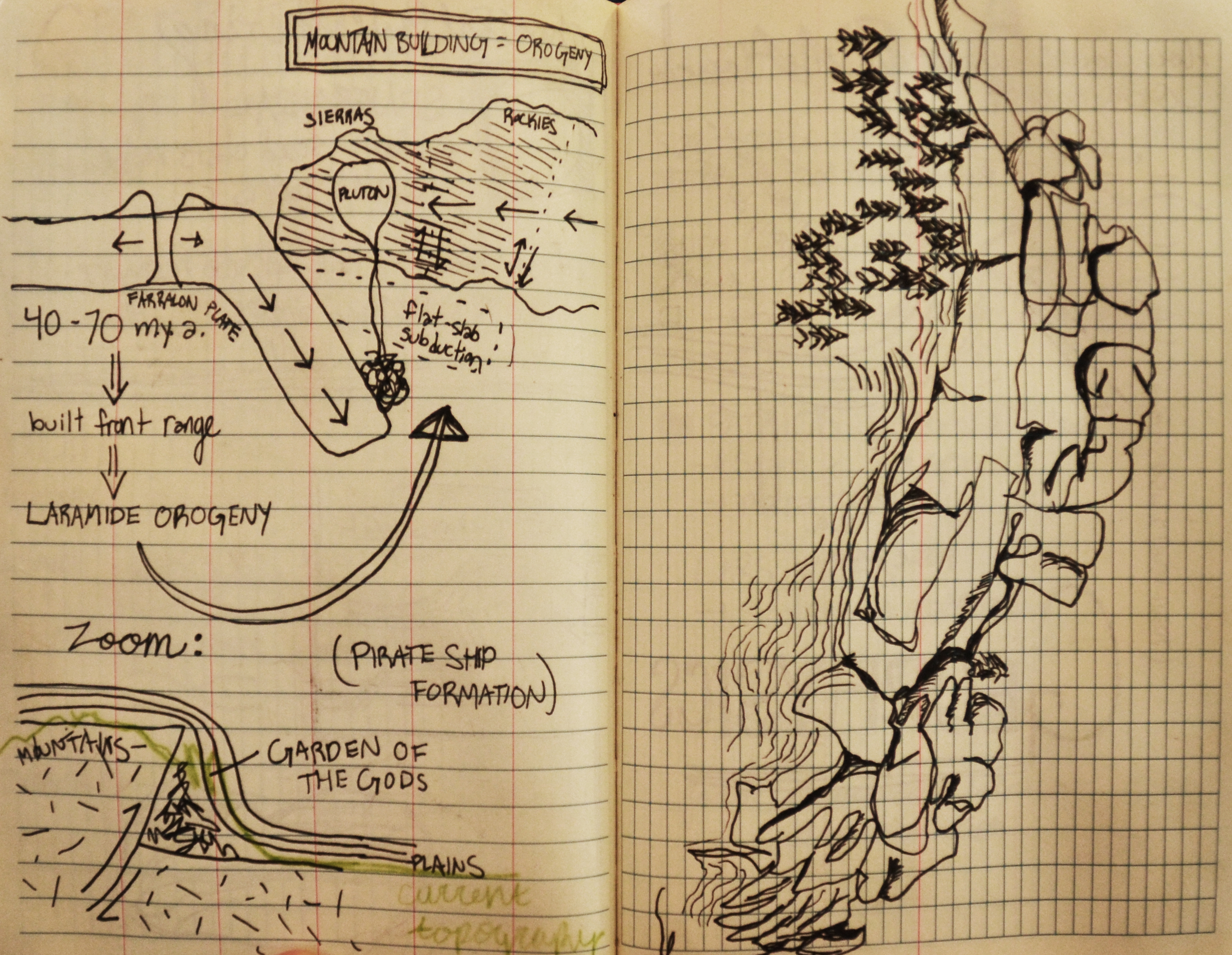
For our mapping project we were split into groups of four or five and we had two days to map the area around our camp site, measuring the angles (strike and dip) of rock formations and making observations about the different types of rocks to try to figure out the geological history of the area. Although mostly everyone was really confused at various points, we all arrived at the conclusion that the area was the center of an old volcano which had since gone through much erosion. It was exciting to use our recently acquired geological knowledge in an applied way.
After returning to campus, presenting, and cleaning our gear we parted ways with our books full of notes, our heads full of knowledge, and our summer full of adventurous stories. Thanks for letting us share them with you.
And thank you Zion, Beth, and Lucy for giving us such a wonderful class and showing us how the block plan is meant to be used.
– Taryn ’14 and Austin ’15