Lake Powell and Glen Canyon Dam
We left the Canyonlands early and began a long travel day to Lake Powell. After a late arrival at the Wahweap campground, we went down to see the lake and then decided to get some rest in preparation for our morning tour of Glen Canyon Dam.
As we descended hundreds of feet in the Glen Canyon Dam elevator, our knowledgeable tour guide led us through the history of the dam. Construction lasted only three years, in part due to the around the clock work regimen. While efficient, this construction approach was grueling, taking the lives of 18 workers. We were able to see one of the twelve enormous buckets that were used to carry an aggregate five million cubic yards of cement during construction.
After our initial elevator descent, our group travelled down even further in order to see the powerplant’s eight generators. Each generator produces 165 mega watts when the reservoir is near capacity. Annual output from hydroelectric power is about five billion kWh- enough to support the annual electrical needs of 400,000 houses. In addition to the turbines that are currently in use, we saw one that had been recently removed after logging 41 years so it could be replaced by a more efficient and durable design.
I was particularly interested in learning how the hydroelectric electricity is transferred from the turbines to homes. After watching a video and speaking with our tour guide, it became clear that the transportation of electricity generated from a hydroelectric powerplant is really no different from any other power plant. Electricity generated at the plant travels from: Generators -> Transformers (increasing voltage to reduce energy losses) -> Switchyard -> Power Lines -> Local Substations (voltage is reduced so it can travel along distribution lines) -> Homes and Businesses.
With 1.9 million people dependent on electricity from Glen Canyon Powerplant, it is clear why water levels in Lake Powell are a huge economic concern. If Powell’s water drops below 3,490 feet (about 19.5% capacity), power can no longer be generated. Due to this wet year, the reservoir is currently 73% full, but that high percentage can give a false sense of security. The lake is highly sensitive to short-term weather fluctuations as well as long-term climatic changes. Just six years ago in 2005, Lake Powell hit an all-time low when it dipped down to 33% capacity.
Lee’s Ferry
After leaving Glen Canyon Dam, we started on our way to the North Rim of the Grand Canyon. Halfway to our destination, we made a stop at Lee’s Ferry, the point that divides the Upper and Lower Basin. In addition to the policy implications of this Upper/Lower Basin designation, this area was an interesting visit because we were able to see and feel the impact of Glen Canyon Dam. The water temperature dropped from 74 degrees in Lake Powell to a frigid 47 degrees at Lee’s Ferry because the water is released from bottom of the reservoir, drastically impacting the habitats for native fish species. We also witnessed a huge change in the sediment and silt distribution above and below Glen Canyon Dam. The Colorado River was originally named for its red color that was attributed to the healthy flow of sediment down the River. However, below Glen Canyon Dam, the water is crystal clear because the sediment and silt is becoming trapped behind the dam. Not only is this a threat to fish and wildlife that rely on the nutrients that are transported with the sediment, but it also threatens the dam efficiency by taking up 1.2 million acre-feet behind the dam.
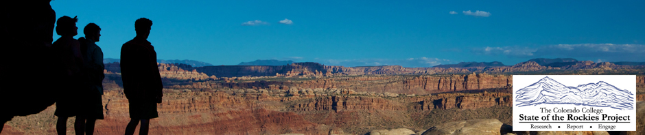
The Grand Canyon
That afternoon we met with interns from the National Park Service’s Big Springs Station that surveys an apex predator called the goshawk in order to monitor the health of the forest. We were lucky enough to get to see a mother and her fledgling (who were not as pleased to see us). After seeing the birds, the Park Service interns were nice enough to bring us to one of their favorite camping spots on the North Rim where we watched a spectacular sunset and slept out under the stars on an overhang on the rim of the Grand Canyon.
By Natalie Triedman, Colorado College State of the Rockies Project Researcher