
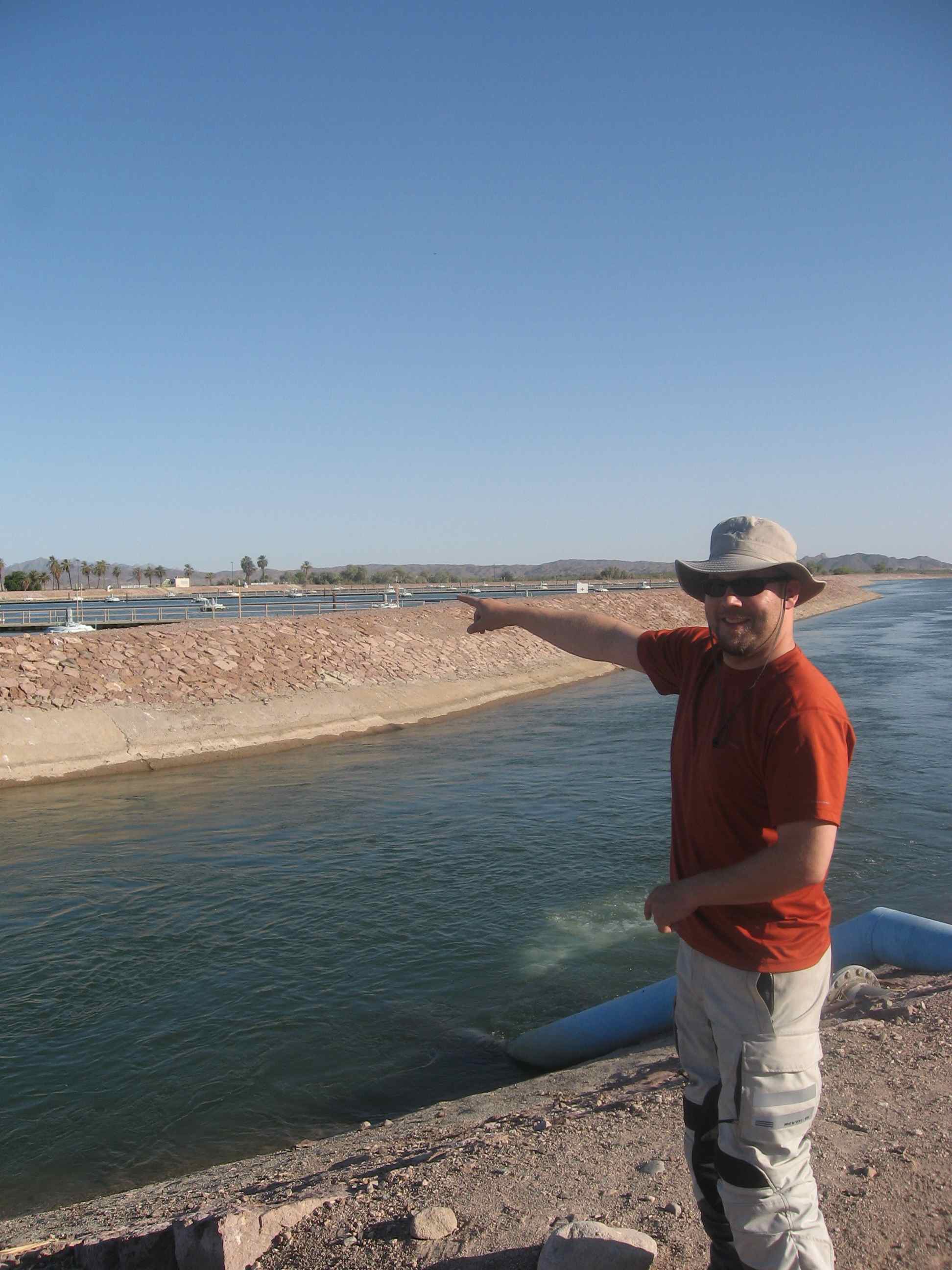
Another early morning start took us south. We followed the Colorado River (now essentially a series of reservoirs) south, briefly stopping at Parker Dam (Lake Havasu). After the Hoover and Glen Canyon Dams, Parker was not terribly impressive, though the reservoir it created is still enjoyed by large multitudes of people every year. We will be back in Lake Havasu City on Friday, and will meet with the BLM regarding the recreation in the area.
We reached Imperial, CA in the afternoon (passing bank that said it was 118 degrees Fahrenheit) and met with Vince Brooks from the Imperial Irrigation District (IID). The Imperial Valley lies west of Arizona between Mexico and the Salton Sea. The 45 (North-South) x 30 (East-West) mile area has 475,000 acres of non-stop farming. With 3.1 million acre-feet (maf) of Colorado River water—approximately 70% of California’s 4.4 maf annual apportionment—the Imperial Valley total commodity value in 2009 was almost 1.5 billion dollars.
East Highline Canal
Vince took us to East Highline Canal, one of three main arteries in the IID that come off of the All-American Canal. Looking across the valley we could see alfalfa, sudan grass, wheat, and plots being prepared for broccoli and lettuce. Much of the garden vegetables that we enjoy during the winter come from the Imperial Valley or nearby Yuma and Wellton-Mowhawk Irrigation District (where we will go on Thursday). The IID holds water rights in trust for the growers, which both gives IID greater political clout and inhibits individual growers from selling water to other users (particularly the Metropolitan Water District of Los Angeles.
Imperial Dam
The All-American Canal—constructed in the 1930’s—begins at the Imperial Dam, diverting water to both the Coachella Valley Water District and the IID. The Imperial Dam is a diversion dam, meaning that it does not have storage capacity and, instead, diverts water into canals. There are large desilting pools, designed to removed silt (sediment) from the water before diverting the water into the canals that feed Arizona and California farmland.
On the Border
We had a fun little experience with the U.S. Border Patrol, as a car came after us when we visited Brock Reservoir. They were concerned regarding the large white IID van we were travelling in. The Border Patrol agents briefly spoke with Vince Brooks and then we were on our way. During construction along the border, enterprising persons made a white van look like one from the construction contractor then snuck several people across the border.
Initinitally thinking that the border fence was a riduclous proposition, Vince remarked that before the fence was constructed they had had many problems with people both drowning in the All-American Canal and farm equipment being stolen. Since the installation of the fence (and with booms installed across the canal), both occurances have drastically decreased.
We had a late dinner with Vince in Imperial then travelled on to a Best Western in Calexico, only a few miles from the border. Even though agriculture often gets a bad rap when it comes to water use, we have to remember that our produce and meat does not come from grocery stores: it comes from farms and ranches. As Vince said, agriculture is “a national resource we should protect.”
By Ben Taber, State of the Rockies Project Researcher