Day 14: South Rim of the Grand Canyon and the Navajo Reservation

After meeting with BLM officials in Lake Havasu City on Friday morning the Rockies Research Team began the trek back to Colorado Springs.  Our destination for that evening was the South Rim of the Grand Canyon and the campground there.  Rising in elevation out of the desert, we quickly found ourselves back in the Kaibab National Forest that we had visited a week earlier, except across the Canyon on the North Rim.  Passing into the National Park we found that the South Rim was truly the tourist destination in the Park rather than the more remote North Rim.  Throngs of visitors walked along the fenced pathways of the rim peering over the edge as various languages from around the world were heard.  We progressed over to the Mather Campground for the night, which seemed more of a small tent city than the traditional campground full of cars and trailers with license plates from across the country.  We set up for the night and began to reminisce on the long journey behind us, and excitedly anticipate the long haul ahead of us back to CC.

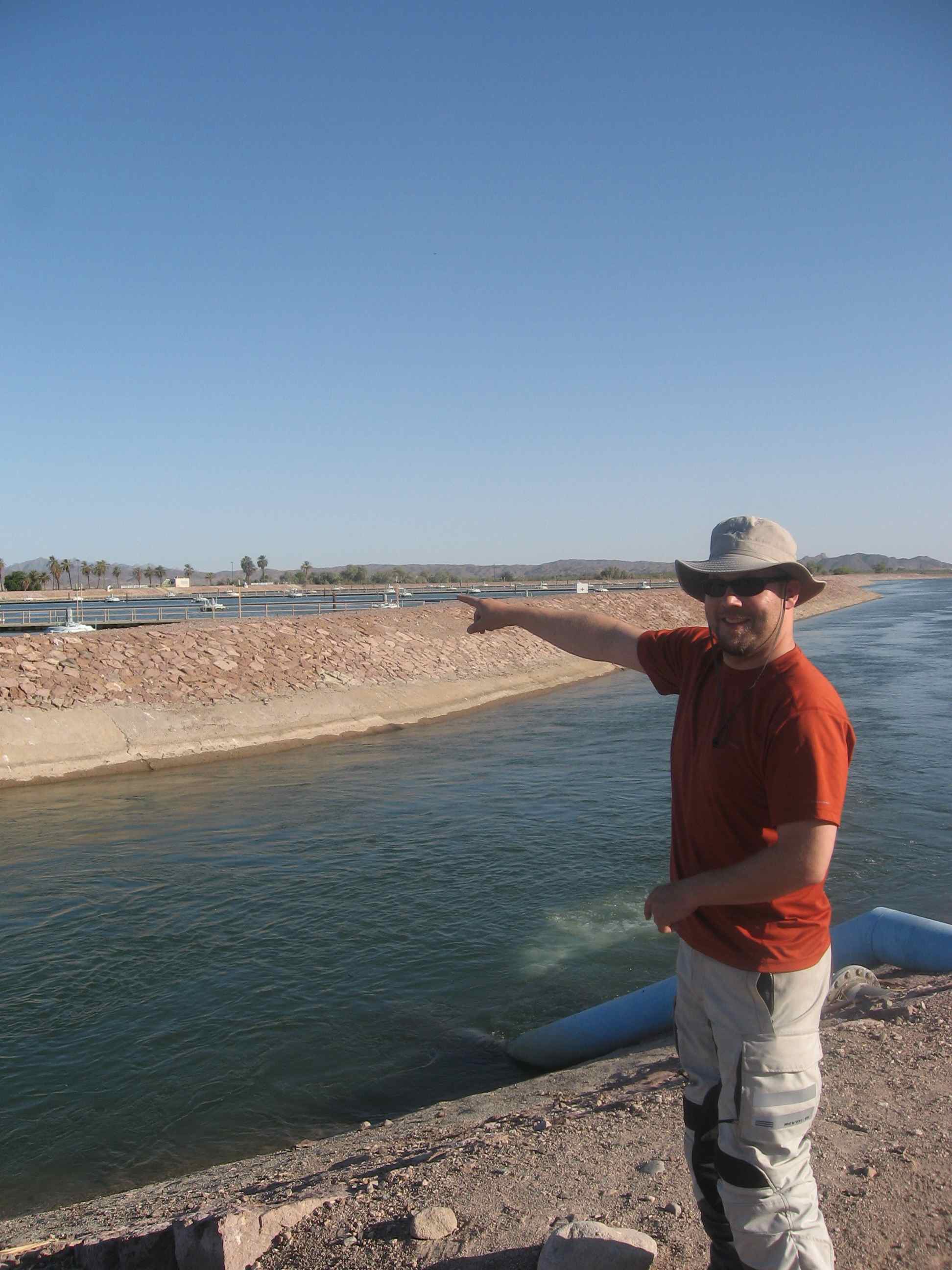
The next morning was another early one as we had to cross the rest of Arizona to reach the Navajo Reservation to meet with officials regarding tribal water management and the greater topic of Native American water rights.  In Ft. Defiance, AZ we met with two members of the Navajo Nation.   Bidtah Becker is an attorney with the Navajo Department of Justice and Jason John is a hydrologist with the Navajo Department of Water Resources. The Navajo Nation spans across Arizona, Utah and New Mexico, creating myriad jurisdictional issues (made worse by allotment: see Blood Struggle by Charles Wilkinson for more information) Since Arizona and New Mexico do not have water courts like we do in Colorado, the process for quantifying the Native American water rights can be long, arduous and politically-driven.  The Navajo Nation and the State of New Mexico recently came to an agreement to quantify the Navajo water rights in the Upper Colorado River Basin in New Mexico (San Juan River)—a process largely driven by Senator Bingaman (D-N.M.).  The Navajo are still pursuing the quantification of their rights in other basins and States.

Bidtah stated that the greatest threat to the Navajo Nation is poverty.  Though the Navajo have extensive coal deposits, they are not connected to major rail lines, thereby limiting the market of the coal. Without the money to build infrastructure or fight expensive legal battles over water rights, the Navajo Nation faces an uncertain future when it comes to water and by extension, their economy.

After the meeting we started our last push towards home heading north through Farmington, NM and up into Colorado crossing the San Luis Valley and finally reaching the Front Range.  Arriving at 1:30AM we were home after our long tour of the Colorado River Basin.

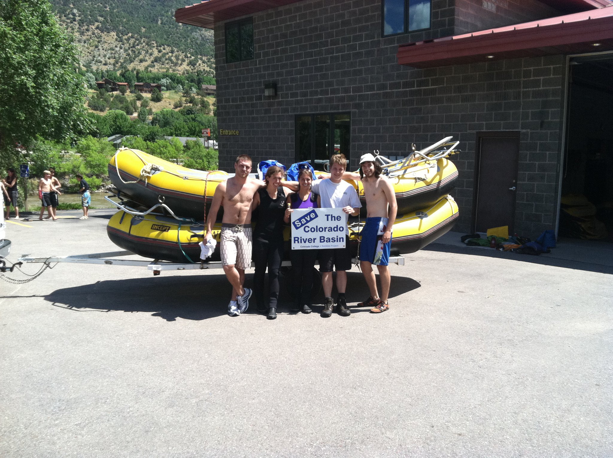
Our research for the summer was undoubtedly greatly enhanced by our travels throughout the basin; while research in the lab can open one to the issues of the region, merely staying within the confines of books and reports limits the perspectives to which you are introduced.  Getting out into the basin and meeting with the stakeholders whose everyday lives are affected by the Colorado River brought a new dimension to this summer’s project.  Whether it be witnessing the flows of the Gunnison through the Black Canyon (flows that are now protected) or the conservation efforts underway in Las Vegas, or engaging with the farmer committed to feeding people in the U.S. and around the world, or meeting with those whose voices haven’t traditionally been heard in the calculus of Colorado River water, we gained new perspectives regarding the multitude of issues facing the Basin.  Now we must compile all of the data and research recorded during our trip, and with recognition of these new perspectives begin to work on our annual Report Card.  With 3 weeks of summer research left we certainly have a tall task, but nothing that we can’t accomplish.

Days 12 and 13: Yuma, Wellton, and Lake Havasu City

Thursday, July 21st

After our 14-hour workday in Mexico, we were all ready to catch up on sleep once we arrived in Yuma, Arizona. The next morning we had another early wake-up in order to get to our meeting at the Yuma Desalinization Plant, the world’s largest reverse osmosis system. The plant was completed in 1992 to treat the saline return flows from the Wellton-Mohawk Irrigation District. Water treated by the desalting plant would theoretically be used as part of the water delivery to Mexico. I say ‘theoretically’ because, with the exception of two test runs, the plant has been sitting idle since its completion in 1992. The Bureau of Reclamation considers the plant a potential tool for extending the water supply. If the plant were to be operated in the future, it could be done at 1/3, 2/3 or full capacity; during the pilot run it was operated at 1/3 capacity. It is impossible to know what capacity it might run at in the future because of the many factors involved, such as the extremity of the current drought and the ability to deliver brackish water to the Cienega de Santa Clara.

As mentioned in the previous day’s blog post on Mexico, 90% of the Cienega de Santa Clara wetland is sustained by the highly saline drainage water from the Wellton-Mohawk Irrigation District- the same water that would be sent to the desalting plant. Minute 316 was created through binational collaboration in an attempt to address this obstacle. The minute states that the US, Mexico, and NGOs such as Pronatura would each designate 10,000 af (for a total of 30,000 af) to the  bypass drain for the Cienega de Santa Clara wetland, if needed.

Additionally, during the 1960’s the quality of water being delivered to Mexico became so poor that Mexico filed a formal complaint, leading to Minute No. 242, which holds the US responsible for delivering water that is no more than 145 parts per million greater than the salinity levels at the last water quality checkpoint in the US (Imperial Dam).  These levels are monitored daily, and the US has never failed to meet the requirement.

We picked up and drove to the Wellton-Mohawk irrigation district (WMIDD) in Wellton, Arizona after our Yuma morning, to meet with Ken Baughman of WMIDD and to get a tour of the region. The Wellton agricultural land area is smaller than that irrigated by the Imperial Irrigation District, only about 65,000 acres, to which the WMIDD diverts about 450,000 acre-feet per year. Of this, about 140,000 af are returned, and actually flow down through Mexico, creating the Cienega de Santa Clara wetlands, making Wellton’s consumptive use closer to 310,000 af.

While quiet at first, Baughman and his fellow WMIDD Water Master, Kurt, turned out to be great resources who offered us both the farming perspective and the reality of the situation down in Wellton. Baughman told us that back before the railroad came through this area of Arizona in 1870, the region was filled with small wells, and outsiders referred to it as “that little well-town”; the name stuck, hence “Wellton.”

Wellton-Mohawk has the largest cattle feed yard west of the Mississippi River (150,000 head), and produces crops such as iceberg lettuce (this is where the US gets winter lettuce from), cotton, wheat, sudan grass, and lots of little seed crops. It also has one of the oldest water rights in the country, meaning that projected future shortages will be delayed in impacting the region. The WMIDD is currently able to divert 4 af/yr to farmers in their district, enough to grow successful crops.

After meeting at the WMIDD headquarters, where they also handle power distribution, we learned a bit about how the district is structured by taking a driving tour of the region. We saw how water coming from Imperial Dam to the west in California is actually pumped uphill by massive pumping plants built in the early 1950s, in order to irrigate the higher-ground acreage. These pumping plants, while not the most efficient because of their age, are quite sturdy and have been very successful at keeping the region irrigated.

Our tour took us to various fields, irrigation canals, smaller pumping stations, and finally ended with a newly-introduced crop in the region, the olive tree. The climate here, while incredibly hot in the summer, is such that it’s capable of supporting a wide variety of crops, as we saw. When asked, Baughman admitted that farming in this kind of desert seems to be a little crazy due to how little water is around, yet it also seems to work.

After saying our goodbyes to our two fabulous tour guides, we took off for Lake Havasu City that evening, about three hours north. Here, we would speak with Myron McCoy, the outdoor recreation planner for the Bureau of Land Management, to get his perspective on recreation in one of the country’s most popular vacation destinations. With 10 million visitors every year, Myron has a thorough understanding of recreation in the area, as well as the impact of recreation on the environment. Boating is by far the most common form of recreation on Lake Havasu, however visitors also enjoy a variety of other outdoor adventures such as hiking, biking, camping, wildlife viewing, hunting/fishing, and off-roading.

Friday, July 22

Part of a multi-agency cooperation campaign to stop invasive mussels.

On Friday morning, Myron spoke to us about the impact that population and recreation growth in the area has on the natural environment. The proliferation of new trails and the increasing number of off-road vehicles has proven to have a huge environmental footprint throughout recent years. However, with fewer visitors due to the downturn of the economy in recent years, Myron has witnessed a rejuvenation of much of the natural environment. There has been a decrease in trash pollution, fewer vehicles creating new off-road trails, and fewer environmental problems associated with dust.

One environmental problem that has not improved in recent years is the challenge of invasive species. There were a host of pamphlets in the BLM office educating visitors on the measures that they need to take to avoid spreading nuisance species such as the quagga mussel, a nonnative invasive species that has colonized throughout the entire Colorado River.

At the finish of the meeting, it was time to begin the long trip home. With only one meeting on Saturday, we were nearing the end of our odyssey.

Day 11: Mexico and the Colorado River Delta


We exited the exquisite Best Western John Jay Inn in Calexico, CA at 4:40am, just early enough for the previous day’s high of 113ºF to drop to a balmy 95ºF. In the refreshingly ‘cool’ air we departed from the Imperial Valley and headed out to visit our neighbors to the South in Mexico.

At the border crossing in Algodones we met up with our guide for the day, Osvel Hinojosa-Huerta, and his posse of environmentalist cohorts. Osvel, a long-time member of ProNatura, provided us with a wealth of information from the moment we met him. He explained that ProNatura was not only the largest but also the oldest non-profit environmental organization in the country of Mexico, now going on its fourteenth year. Their main objectives are the restoration of the delta area, the education of the public, involvement in public policy, and the purchasing of water rights from the government to put to environmental uses.

After brief introductions we began our daylong tour of the Mexican Colorado River Delta Region. We began our journey at the Morelos Dam, the only significant structure along the River in Mexico. The Morelos Dam, unlike the Hoover, and Glen Canyon Dam’s of the United States is only a diversion structure. Mexico itself has no storage capacity for it’s allotted 1.5 million-acre feet it receives annually from the United States. Of the 1.5 million acre feet Mexico is entitled to, 90% is delivered through Morelos Dam (the other 10% is delivered via the southern boundary delivery, and unlike the main delivery is not subject to salinity regulations). As a result, all of the flows into Mexico are immediately redirected and put to beneficial use either by municipalities such as Tijuana, or by agricultural water rights holders. The Dam was impressive in that through such diversions it realistically marks the end of the original Colorado River. On one side you see the dry riverbed where water once flowed to the sea, and on the other the recently built canal system that takes water away to where it is needed most. Osvel was quick to mention that any flooding events will result in a release from the dam allowing for the flooding of the traditional riverbed. These events, which occur no more than four to five times a year, constitute the only water that this part of the river will ever see.

Our tour of the Dam was followed by a short drive to the Welton-Mohawk drainage Canal, also referred to as the Mode Canal. The waters passing through this canal system are the made up exclusively of agricultural drainage/wastewater produced by the Welton-Mohawk Irrigation District in Welton, AZ. This water, too saline (typically in the range of 2,500 ppm) and sediment-filled to be productively used in Mexico, drains directly into the Cienega de Santa Clara, an “artificial” wetland because the water is identified as too saline to meet treaty requirements under minute 242. This water is not counted as part of the United State’s delivery to Mexico. At this same stop we were able to walk down into the old Colorado riverbed, now resembling a beach more than a river. As stated before, water no longer flows down this stretch of the river. This did provide an opportunity however, to reflect on what this region must have looked like in centuries past. One could easily envision the prolific riparian environment that once thrived here.

A somber look at what has become was quickly transformed into the realization of what could be at our next stop, Laguna Grande. Laguna Grande is part of a wider conservation, restoration, and education effort currently being pursued by Pronatura and the Sonora Institute in Mexico. The wetlands area land was gained as a concession from the government after the involved groups demonstrated public interest. Water for the land was secured through the collective purchase of water rights by all entities involved in the project. This project is not only providing for the future success of plant and animal species in the area but is being used as a way to open the eyes of the public to the environmental degradation going on in the area.

I have to take this time to remark on the unbelievable heat our group experienced all day long. If I was to exclude this remark you, as the reader would in no way be able to share this amazing experience with us. 115ºF is unlike anything you have ever felt, there was not one person not sweating through his/her shirt by midday. Marco, if you’re reading this blog, these comments are directed at you.

After devouring some of the most delicious fish tacos I have ever had the pleasure of ingesting, we made our way to the last stop on our trip, the Cienega de Santa Clara. The drive into the Cienega is unlike anything most of us have ever seen. It involves a drive through the Colorado River Delta, or at least what is left of it, a barren wasteland unfit for inhabitation by anything save a few strands of hearty and resilient grass. Without the historic flooding events and the natural flow of the river the delta has been transformed from a vibrant wetland to one of the driest places around. Eventually, we arrived at a lush and thriving “desert oasis”. The Cienaga as noted before, was created following the passage of IBWC minute 242, implementing salinity requirements on U.S. water deliveries to Mexico. The wastewater from Welton-Mohawk was so saline that its reintroduction to the Colorado River raised levels to a point where agricultural production was impossible. As a result, a canal was created to deposit the water in the delta area. The water slowly collected over the years and created what is today 14,000 acres of wetlands, now home to 250 bird species, numerous species of fish, and the Yuma Clapperail a protected species in both the United States in Mexico. We were lucky enough to be taken on an hour-long boat tour of the Cienega where we witnessed first hand its incredible biodiversity. We even made friends with a curious pelican whom proved brave enough to swim up to our boat.

After a long, productive, and very fun day, our group, for the first time on the trip, turned North and made its way to Yuma for a little rest and reprieve.

by, Warren King

State of the Rockies Researcher


Day 9: The Imperial Valley

The Imperial Valley. Photo by Ben Taber.

Another early morning start took us south.  We followed the Colorado River (now essentially a series of reservoirs) south, briefly stopping at Parker Dam (Lake Havasu).  After the Hoover and Glen Canyon Dams, Parker was not terribly impressive, though the reservoir it created is still enjoyed by large multitudes of people every year.  We will be back in Lake Havasu City on Friday, and will meet with the BLM regarding the recreation in the area.

We reached Imperial, CA in the afternoon (passing bank that said it was 118 degrees Fahrenheit) and met with Vince Brooks from the Imperial Irrigation District (IID).  The Imperial Valley lies west of Arizona between Mexico and the Salton Sea.  The 45 (North-South) x 30 (East-West) mile area has 475,000 acres of non-stop farming.  With 3.1 million acre-feet (maf) of Colorado River water—approximately 70% of California’s 4.4 maf annual apportionment—the Imperial Valley total commodity value in 2009 was almost 1.5 billion dollars.


East Highline Canal

Vince took us to East Highline Canal, one of three main arteries in the IID that come off of the All-American Canal.  Looking across the valley we could see alfalfa, sudan grass, wheat, and plots being prepared for broccoli and lettuce.  Much of the garden vegetables that we enjoy during the winter come from the Imperial Valley or nearby Yuma and Wellton-Mowhawk Irrigation District (where we will go on Thursday).  The IID holds water rights in trust for the growers, which both gives IID greater political clout and inhibits individual growers from selling water to other users (particularly the Metropolitan Water District of Los Angeles.

Imperial Dam

Our technical director, Matt, is pointing at the de-silting pools at Imperial Dam. Photo by Ben Taber.


The All-American Canal—constructed in the 1930’s—begins at the Imperial Dam, diverting water to both the Coachella Valley Water District and the IID.  The Imperial Dam is a diversion dam, meaning that it does not have storage capacity and, instead, diverts water into canals.  There are large desilting pools, designed to removed silt (sediment) from the water before diverting the water into the canals that feed Arizona and California farmland.


On the Border

We had a fun little experience with the U.S. Border Patrol, as a car came after us when we visited Brock Reservoir.  They were concerned regarding the large white IID van we were travelling in.  The Border Patrol agents briefly spoke with Vince Brooks and then we were on our way.  During construction along the border, enterprising persons made a white van look like one from the construction contractor then snuck several people across the border.

Initinitally thinking that the border fence was a riduclous proposition, Vince remarked that before the fence was constructed they had had many problems with people both drowning in the All-American Canal and farm equipment being stolen.  Since the installation of the fence (and with booms installed across the canal), both occurances have drastically decreased.

We had a late dinner with Vince in Imperial then travelled on to a Best Western in Calexico, only a few miles from the border.  Even though agriculture often gets a bad rap when it comes to water use, we have to remember that our produce and meat does not come from grocery stores: it comes from farms and ranches.  As Vince said, agriculture is “a national resource we should protect.”

By Ben Taber, State of the Rockies Project Researcher

Days 8 and 9: Las Vegas, Boulder City and Hoover Dam

Day 8: Sunday, July 17

North Rim of the Grand Canyon to Las Vegas, NV

Leaving the grandiose expanse of open canyon country was no easy feat Sunday morning, especially as we knew our next stop, the indulgent metropolis of Las Vegas, would present us with a very different environment. The North Rim of the Grand Canyon, the geologic masterpiece of the powerful Colorado River, offered a quiet alternative to its touristy South Rim counterpart (which we will be visiting this Friday).

We had a long drive to Vegas (about five hours) through the scorching desert expanses of both Utah and Arizona. While on this journey, we ran into our first vehicular issue; a loud wailing and grinding sound was coming from somewhere near the dashboard of the van. Being the fearless leader that he is, program coordinator Brendan was able to fix it (and we got a tiny respite from the van’s cramped interior).

Upon arriving in Las Vegas (temperature: 105° F at 3 pm,), we visited the massive Springs Preserve, a museum and ecological restoration site all rolled into one. Las Vegas was originally built on a spring (allowing life in the otherwise bone-dry desert), the natural form of which has since run dry. The Preserve museum offered information on Las Vegas’s geologic transformation, history as a city, water consumption, and ideas for sustainability and conservation. Outside, gardens based on native desert vegetation interspersed with informational creature exhibits were a highlight.

Day 9: Monday, July 18

After a fun evening in our hotel, the Golden Nugget (which houses a large outdoor pool with an aquarium in the middle, through which runs a water slide; questionable sustainability practices in a region with little water), we started the day off bright and early with an 8 am meeting at the Southern Nevada Water Authority (SNWA). Doug Bennett, their Water Conservation Manager, gave us a very detailed presentation about past, present, and projected water use in Las Vegas, followed by descriptions about current conservation programs and strategies. Vegas receives 90% of its water from the Colorado River, yet as a state, Nevada receives the smallest apportionment of any state in the Basin (only 0.3 maf each year). This means that any changes in the river’s flow, such as the recent drought, drastically influence Las Vegas. A pipeline is proposed that would tap the groundwater of the Great Basin in Northern Nevada and transport it to Las Vegas, however it is highly controversial (not to mention costly, at $3.5 billion).

Our next meeting with SNWA ecologist Jason Eckberg took us to the Las Vegas Wash, a previously ephemeral stream turned into a constant flow by discharge from the Wastewater Treatment Plant upstream. The Wash has been restored as a thriving habitat for many species of flora and fauna, including fish, amphibians, reptiles, and the native cottonwood trees. Its water is still wastewater and not fit for human consumption, but returning this water to Lake Mead helps in reuse and fulfilling return flow quotas.

A quick lunch later brought us to the Boulder City Bureau of Reclamation Operations Center, which creates release schedules for Hoover, Parker, and Davis dams. We learned about the complexity of predicting future flows, as well as the potential drains facing the Colorado River’s major storage units, Lakes Powell and Mead.

Next, we drove over to the Alfred Merritt Smith Water Treatment Plant, where we met with a civil engineer who told us about an ongoing project to create a new intake on Lake Mead. The reason for this new intake is due to dropping levels on Lake Mead; if an elevation of 1050 feet is reached (the lake is currently at 1104 ft), intake #1 will fail due to its shallow placement. The project is quite costly, but because intake #3 will be placed at elevation 860 feet, it will hopefully extend the life of Lake Mead.

Our final stop for the day was at the gargantuan Hoover Dam, an impressive feat of human engineering. No matter how many pictures one has seen of it, the dam is still mind-blowing in size and stature, and in our case, heat—the temperature clocked in at 113°F. We are very grateful to Doug Bennett and the SNWA for setting up this jam-packed tour of Las Vegas water for us. We’re also ready to move on to the agricultural mecca of Imperial Valley, CA tomorrow and out of Sin City.

By Sally Hardin, Colorado College State of the Rockies Project Researcher

Days 6 and 7: Dam and Canyon

Lake Powell and Glen Canyon Dam

We left the Canyonlands early and began a long travel day to Lake Powell. After a late arrival at the Wahweap campground, we went down to see the lake and then decided to get some rest in preparation for our morning tour of Glen Canyon Dam.

As we descended hundreds of feet in the Glen Canyon Dam elevator, our knowledgeable tour guide led us through the history of the dam. Construction lasted only three years, in part due to the around the clock work regimen. While efficient, this construction approach was grueling, taking the lives of 18 workers. We were able to see one of the twelve enormous buckets that were used to carry an aggregate five million cubic yards of cement during construction.

After our initial elevator descent, our group travelled down even further in order to see the powerplant’s eight generators. Each generator produces 165 mega watts when the reservoir is near capacity. Annual output from hydroelectric power is about five billion kWh- enough to support the annual electrical needs of 400,000 houses. In addition to the turbines that are currently in use, we saw one that had been recently removed after logging 41 years so it could be replaced by a more efficient and durable design.

I was particularly interested in learning how the hydroelectric electricity is transferred from the turbines to homes. After watching a video and speaking with our tour guide, it became clear that the transportation of electricity generated from a hydroelectric powerplant is really no different from any other power plant. Electricity generated at the plant travels from: Generators -> Transformers (increasing voltage to reduce energy losses) -> Switchyard -> Power Lines -> Local Substations (voltage is reduced so it can travel along distribution lines) -> Homes and Businesses.

With 1.9 million people dependent on electricity from Glen Canyon Powerplant, it is clear why water levels in Lake Powell are a huge economic concern. If Powell’s water drops below 3,490 feet (about 19.5% capacity), power can no longer be generated. Due to this wet year, the reservoir is currently 73% full, but that high percentage can give a false sense of security. The lake is highly sensitive to short-term weather fluctuations as well as long-term climatic changes. Just six years ago in 2005, Lake Powell hit an all-time low when it dipped down to 33% capacity.

Lee’s Ferry

After leaving Glen Canyon Dam, we started on our way to the North Rim of the Grand Canyon. Halfway to our destination, we made a stop at Lee’s Ferry, the point that divides the Upper and Lower Basin. In addition to the policy implications of this Upper/Lower Basin designation, this area was an interesting visit because we were able to see and feel the impact of Glen Canyon Dam. The water temperature dropped from 74 degrees in Lake Powell to a frigid 47 degrees at Lee’s Ferry because the water is released from bottom of the reservoir, drastically impacting the habitats for native fish species. We also witnessed a huge change in the sediment and silt distribution above and below Glen Canyon Dam. The Colorado River was originally named for its red color that was attributed to the healthy flow of sediment down the River. However, below Glen Canyon Dam, the water is crystal clear because the sediment and silt is becoming trapped behind the dam. Not only is this a threat to fish and wildlife that rely on the nutrients that are transported with the sediment, but it also threatens the dam efficiency by taking up 1.2 million acre-feet behind the dam.

The Grand Canyon

That afternoon we met with interns from the National Park Service’s Big Springs Station that surveys an apex predator called the goshawk in order to monitor the health of the forest. We were lucky enough to get to see a mother and her fledgling (who were not as pleased to see us).  After seeing the birds, the Park Service interns were nice enough to bring us to one of their favorite camping spots on the North Rim where we watched a spectacular sunset and slept out under the stars on an overhang on the rim of the Grand Canyon.

By Natalie Triedman, Colorado College State of the Rockies Project Researcher

Rockies Research Trip Day 5: The National Park Service and Canyonlands National Park

Moab, UT and Canyonlands National Park

After enduring a lengthy night of perpetual mosquito harassment we departed from the riverside campsite at the BLM Goldbar campground and made our way three miles south of Moab to the National Park Service’s Southeast Utah Group Headquarters. The Southeast Utah Group is the centralized administrative unit in charge of maintaining Canyonlands National Park, Arches National Park, Natural Bridges National Monument, and Hovenweep National Monument.

At the headquarters we met with Paul Henderson, Assistant Superintendent for the Southeast Utah Group. Paul was kind enough to discuss with our group the various challenges faced by the NPS when managing the aforementioned national parks and monuments. The majority of our discussion focused on Canyonlands, the largest of the four parks in the area, and the most challenging to manage. Paul laid out seven specific concerns the park service is currently dealing with.

First and foremost was the ongoing cleanup of the uranium-mining site located just north of Moab and directly on the Colorado River. Following standard procedure of virtually all mining companies in the West, the company that once owned this site filed for bankruptcy and subsequently abandoned the property, eventually leading to the Departments of Energy’s acquisition of the site. This particular site will remain one of the last and largest tailing sites along the Colorado until the cleanup is completed in approximately 12 years. While the NPS did not play an active role in the cleanup of the site, the leaching of materials into the river posed a significant threat to the riparian zones within the park boundaries.

The second issue looming over Canyonlands National Park, and throughout the river systems of the West, is the presence of tamarisk, or salt cedar. This non-native invasive and species was introduced to the region some forty years ago in an effort to reduce bank erosion. The plant has since choked out native cottonwoods and other local flora through its high water consumption and release of highly saline wastewater. Paul explained that the park service has not engaged in experimental tamarisk beetle introductions or large-scale fire removal.

Additional challenges that Paul discussed were: the management of five endangered fish species, the recovery of high operational costs, communication between park officials in emergency situations that is inhibited by the high number of dead spots, management of a geologic park with nonsensical geographic boundaries, and the classic NPS problem of balancing their dual missions of promoting recreation and entertainment and protecting our nations natural resources for future generations.

Paul proved not only to be a library of information but an entertaining speaker as well. We thoroughly enjoyed our time with him, and would like to again thank him for all of his assistance.

Once our meeting adjourned, we made our way to the Needles section of Canyonlands National Park. After setting up at a beautiful campsite, our group embarked on the 11-mile roundtrip journey from the Big Spring Canyon Overlook trailhead to the Green and Colorado River Confluence overlook. From 1,000 feet up we witnessed the two of the great rivers in the West collide and continue their journey South to Mexico.

We will now do the same, as our research team heads out once again on our way to Lake Powel.

By Warren King, State of he Rockies Project Researcher

Rockies Research Trip Days 3 and 4: Canyons, Hydrology and Utah

Tuesday, July 12

Paonia to Black Canyon of the Gunnison National Park

While parting with the idyllic Orchard Valley Farms was tough, we had much to look forward to as we packed up early Tuesday morning to head off to the North Rim of the Black Canyon of the Gunnison. We were there to investigate, first-hand, the effects of a recent negotiation securing a 1933 federally reserved water right for the Black Canyon National Monument (now National Park). This water right established minimum and peak flows for the Gunnison River flowing through Black Canyon, and has been in effect for three years now.

Later in the afternoon we’d meet with a knowledgeable Park Hydrologist and get the full details on the status of the Gunnison River (an important tributary to the Colorado River). But for now, it was time to hike down the 1,800 vertical feet into the canyon and see the roaring river ourselves. The 1.75 mile hike down “SOB Draw” took us a little more than an hour as we carefully picked our way down scree, lowered ourselves around boulders, and avoided poison ivy as well as we could. The view down into the canyon was stunning, and reaching the bottom left us with no doubt as to why this spectacular yet remote canyon was awarded National Park Status.

After a dip in one of the river’s many pools and the obligatory photo shoot (check out our facebook page), it was time to head back up. This required some serious scrambling, but was arguably far more fun than the uphill slog offered by flatter, less rocky trails. Plus, the view was unbeatable.

Because of the remote location of the Black Canyon of the Gunnison, it took us nearly two hours to drive from our North Rim hike over to the South Rim, where we were camping. The drive offered incredible scenery, however, as well as chance to check out the river’s largest reservoir in Colorado, the Blue Mesa Reservoir. This dam-reservoir system, in conjunction with two other major dams (Crystal and Morrow Point), makes up the Aspinall Unit. This storage and diversion system was the brainchild of Colorado Representative Wayne Aspinall, thoroughly debated by the environmental community, but finally created in order to provide water for growing metropolitan areas throughout the West.

Once on the South Rim of Black Canyon, we rolled up into camp just in time to meet with Michael Dale, the Park hydrologist, and were greeted by heavy rain. Dale was a great sport and we discussed flow rates, park recreation, impacts of dams, water rights and the economy of the surrounding area. He was an excellent source as far as familiarizing us with the technicalities of flow forecasts and changing hydrological components.

Wednesday, July 13th

Black Canyon of the Gunnison NP to Green River, UT to Moab, UT

After a beautiful sunset and a refreshing night’s sleep, we took off early again this morning, this time bound for Utah. A morning in the car got us caught up with various field trip contacts using email on our smartphones, and Carson finished a movie detailing our first few days on the road (you can check it out here). We stopped first at the John Wesley Powell Museum in Green River, Utah, where we learned extensively about Powell’s first trip down the river in 1869.

We hopped back on the road to get to Moab, where we were met by the now-routine afternoon thunderstorm and the treat of waterfalls of rain running off of Moab’s stoic red rock. We pulled into town in time for a meeting with Living Rivers head John Weisheit (www.livingrivers.org ), a long-time advocate for recognizing the natural flow regime of the river and the negative impacts of growing human presence. Weisheit provided a very cynical but realistic point of view on the Colorado’s future, discrediting the efforts of water purveyors and policymakers in consistently diverting and damming the river.

Now that we’re having precious internet time at Moab’s public library, we’ll be all ready for another evening camping, a Thursday morning meeting, and a hike to the confluence of the Green and Colorado Rivers tomorrow.


By Sally Hardin, Colorado College State of the Rockies Project Researcher

Rockies Research Trip Day 2: Raft, Ski and Farm

Monday, July 11, 2011

Avon-Glenwood Springs-Aspen-Paonia

Morning on the Colorado

Rockies Researchers after a successful rafting trip. From left to right: Warren, Sally, Natalie, Carson and Ben. Photo by Brendan Boepple


Departing early from the Hillman’s in Avon, we followed the Eagle River to the confluence with the Colorado.  Continuing on to Glenwood Springs, we arrived at our outfitters for the morning: Whitewater Rafting, LLC.  After a brief safety talk featuring the compulsory bad jokes, we climbed into a van with our guide, Levi, and another party.

Because the Colorado is very high right now—almost 20,000 cfs (cubic feet per second) below the confluence of the Roaring Fork—we were unable to go through the Shoshone rapids.  Instead, we embarked from Bear Creek. The first big rapid we hit, Mine Shaft, nearly sent Warren and Carson into the drink.  Though we hit some fun rapids after that, there were long stretches where we could talk with Levi.

We asked Levi about the impact of the Shoshone Dam, and he mentioned that it has been greatly beneficial to the rafting industry of Glenwood Springs.  In order to generate power Shoshone needs to release a minimum of 1,200 cfs, guaranteeing enough water in the Colorado to raft.   Since Shoshone is a top-release dam, it does not have the negative temperature effects of bottom-release dams like Glen Canyon: cold water equals a greater likelihood of hypothermia.  Levi also told us about the ecology and hydrology of the river.  One interesting fact he gave us is that the source of Glenwood hot springs is actually under the Colorado, the river was diverted in order to make the Glenwood Hot Springs pool, and the hot spring is the greatest natural source of salt on that section of the river.

Towards the end of our rafting adventure, we formed a trust circle.  Holding on to each other’s shoulders, we stood on the edge of the raft while Levi spun us in a circle, gradually increasing speed.  As we circled, we went past two juvenile Bald Eagles, undoubtedly laughing as the inevitable occurred: Sally and Warren fell out of the boat as our trust circle collapsed.

Recreation on and around the Colorado River has a significant economic impact, and can be a great ally of the environment.  We would learn more about environmental and recreation groups working together to ensure in-stream flows when we visited the Black Canyon of the Gunnison National Park.

Afternoon in Aspen

We drove to Aspen in a light rainstorm.  It is truly amazing how green the mountains and how full the rivers are.  After a decade of drought we need the water, but we have to remember that one wet year does not end a drought.

In the afternoon we met with Auden Schendler, the Vice President for Sustainability at Aspen Ski Company.  He gave an overview of Aspen’s sustainability efforts.  First, Aspen performed some institutional greening: recycling programs, installing low-flush toilets, and so forth.  They realized, however, that such small-scale effects alone would not have any impact on climate change.  Climate change and the warming of much of the world could result in a shorter ski season and less snow, both of which would affect the ski industry.

Aspen then added efforts to reduce their carbon footprint by directly generating power from green sources as opposed to purchasing “meaningless” alternative energy certificates.  But, Schendler told us, these small-scale efforts are not going to have any significant impact on mitigating climate change.  Even if Aspen were to figure out a way to insure snow for skiing, Schendler noted that the decrease in socio-economic stability would decrease the number of people that could ski.  If your town has flooded in North Dakota, or if your home was wiped out by a hurricane, you do not have the luxury to go on a ski trip.

With this in mind, Aspen has been using their leverage as a political and economic force (not to mention a vacation destination) to influence people who have the power to change the world.  Aspen, along with over 700 other companies boycotted Kimberly Clark (Kleenex) because of their unsustainable forestry practices.  Like magic, Aspen made national press and Kimberly Clark has since greened their operations.

Evening on the Farm

The Double-Gold Winning '08 Pinot Noir with Lee Bradley in the background. Photo by Ben Taber

Shortly after six we pulled into Orchard Valley Farms and Black Bridge Winery in Paonia, CO.  Owned by my great aunt and uncle Kathy and Lee Bradley, the farm has water rights to the Farmer’s Ditch—rights dating to 1890.  Since western water law is based upon the doctrine of prior appropriation (“first in time, first in line”), these early water rights are vital to the farmers.

The Bradleys started farming apples in Orchard Valley Farms in 1991.  They gradually replaced the apple trees with other crops until today; they grow cherries, peaches, wine grapes and some other produce that they sell at their market.   We spoke with Lee and Kathy about their operation and sampled some of their produce.

Camping out in the peach orchard, we cooked brats over an open fire and roasted corn: a great end to a full day.

By Ben Taber, Colorado College State of the Rockies Project Researcher


Summer Research Trip is underway!

The State of the Rockies Summer Research trip has begun.  The Rockies research team left Colorado Springs today and are on their way to Avon, CO.  Along the way we’ll witness the remainder of this years record high snowpack levels and the high runoff that has been produced in Colorado and the rest of the Basin. Tomorrow has excitement in store as the research team is headed to Glenwood Springs to raft Glenwood Canyon and then off to meetings in Aspen in the afternoon.

Stay tuned in here as the research team will try and update this blog daily with different information regarding what we’re seeing, who we’re meeting with, and what we’ve learned about the intricate Colorado River Basin.  The team will also be updating its Facebook page throughout the trip with photos and links to videos we’ve posted on our YouTube channel.