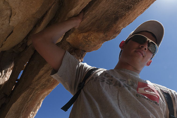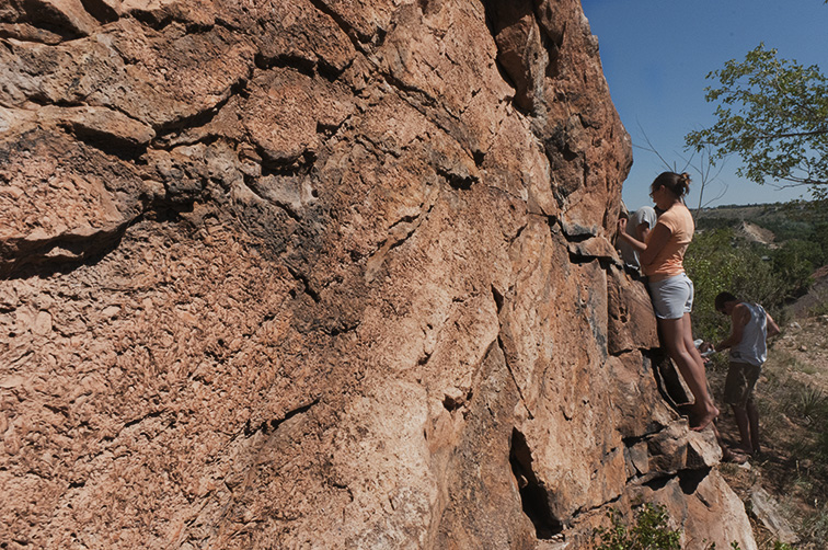
We had the morning after our 5-day field trip off to sleep in for the first time since class started, but we were right back at it in afternoon, with a little day trip to the Manitou are to practice our new knowledge of sedimentary rock formations. We learned how different formations give us an idea of what the landscape looked like when they formed, from mountains to deep oceans.
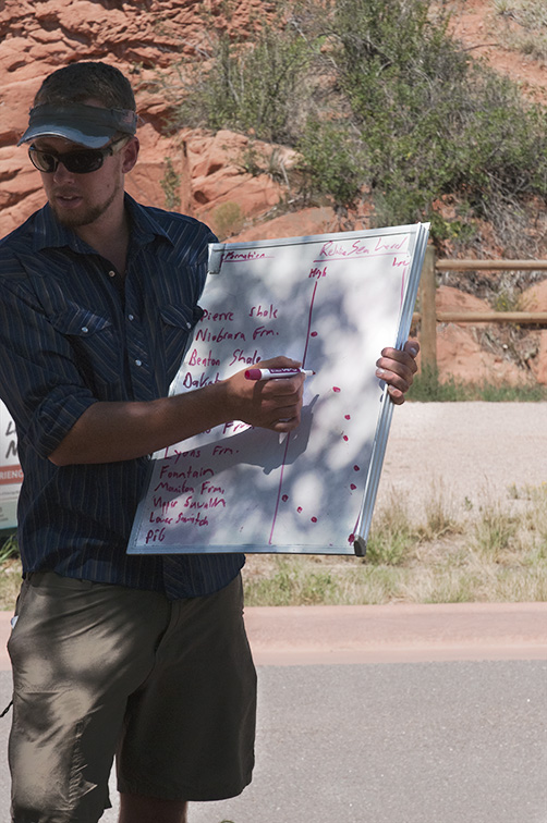
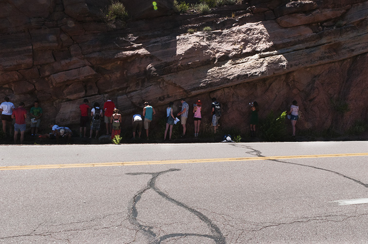
We continued looking at different local rock formations the next day and compared our observations to a list we had of the known rock formations of the Pikes Peak region and when they formed. I really enjoyed seeing the history of the region, going back billions of years, in a physical spatial way. Time isn’t usually so visible in the 3-D world. In the Manitou area it’s very clear because the layers of sedimentary rock were turned on their side so we would see one formation that we could date to one age and then another formation next to it that we could date to the following age, and so on. We used the information we had of the geological timescale and formations of the Pikes Peak area together with our own observations to create a picture of how the local landscape has changed in the history of the earth. We saw fossils of oceanic creatures in the Niobrara Formation from when the area was an ocean and evidence of mountain rivers in the Fountain Formation with deposits of alternating layers of big and little clasts, or particles.
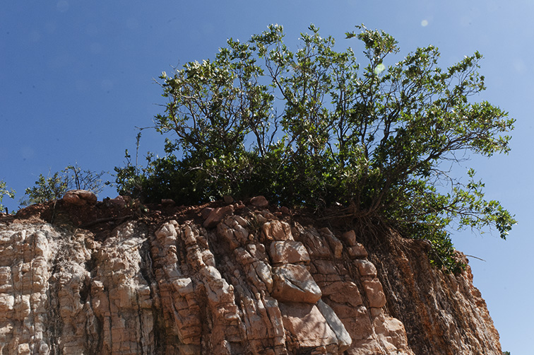
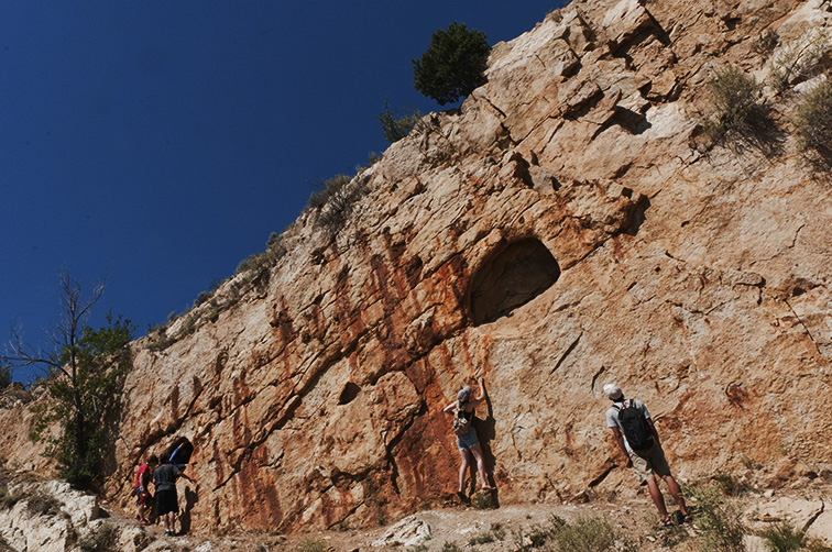
Over the weekend we wrote out our own understandings of the geological history of our local area and prepared for our next field trip: a twelve day adventure including three nights of backpacking, a rafting trip, and a final mapping project that will take us to the end of the block. We are armed with hand lenses and Nutella and ready to study some earth! Fun fact: contrary to popular belief geology means the study of solid earth. The study of rocks is called petrology.
– Austin ’15 and Taryn ’14
