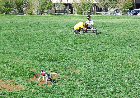
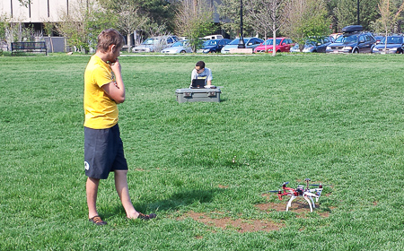
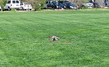
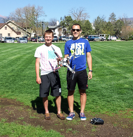
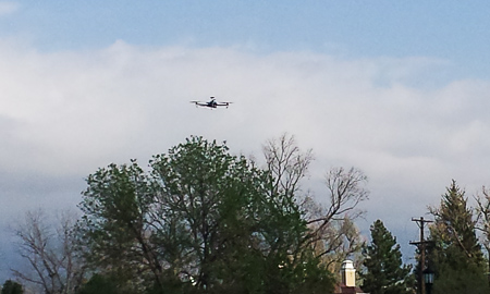
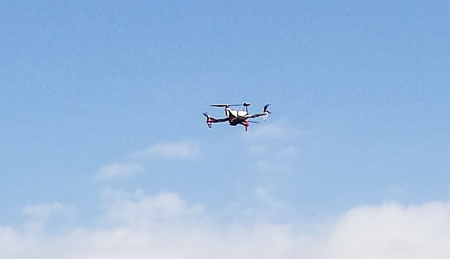
…an unmanned aerial vehicle (UAV)! The GIS project was successful this past week with its fine-tuning as it prepared to go to Wyoming to do aerial surveys of exposed dinosaur fossils. Here are some photos of the preparations and test flights:
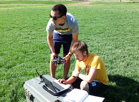
Day 1 – Students Noah Cutter and Nate Mankovich working on the computer and controls in preparation for the UAV’s flight.

Day 3 – Matt Gottfried, Noah, and Nate prepare for another day’s flight, this time letting the computer control the UAV to run a set pattern over the field.
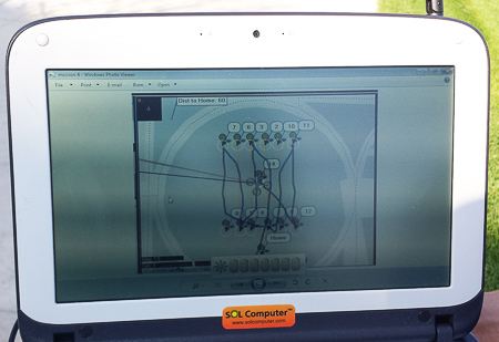
Day 3 – The computer shows the pattern the UAV took (the dark lines back and forth). The squiggles in the lines indicate where the wind pushed the UAV a little off-course from the pattern.
Congratulations to Noah and Nate on their successful days of testing. Good luck in Wyoming!
ITS:Always fun, never boring
Respectfully submitted,
Linda Petro

