

The Problem
The NSO iPhone app is neat: it has a map with pins dropped identifying the buildings on campus and has a directory with a few important numbers. However what this app lacks is any detail beyond name, and doesn’t show where the user is in relation to the buildings.
Wouldn’t it be nice to click on Worner, have the Worner desk phone number pop up, as well as a link to Rastall’s menu and hours? Or to click on Barnes, see which floor a department is, or their phone number, computer lab hours, etc. Hopefully through the power of ArcGIS this will one day become a reality!
Implementation
The next question is how to improve this system? Ideally it shouldn’t matter whether you’re on your Andriod, iPhone or laptop. Originally I envisioned exporting GIS data to a mobile app, but after talking to Matt, I am much more inclined to take advantage of ArcGIS Server and create a webapp that can be accessed on mobile and laptop platforms. The other option we discussed involved a website that would take users to building information after they snapped a picture of the QR code outside. Ultimately, having a way to find out the Worner desk’s number before you are standing outside would be ideal.
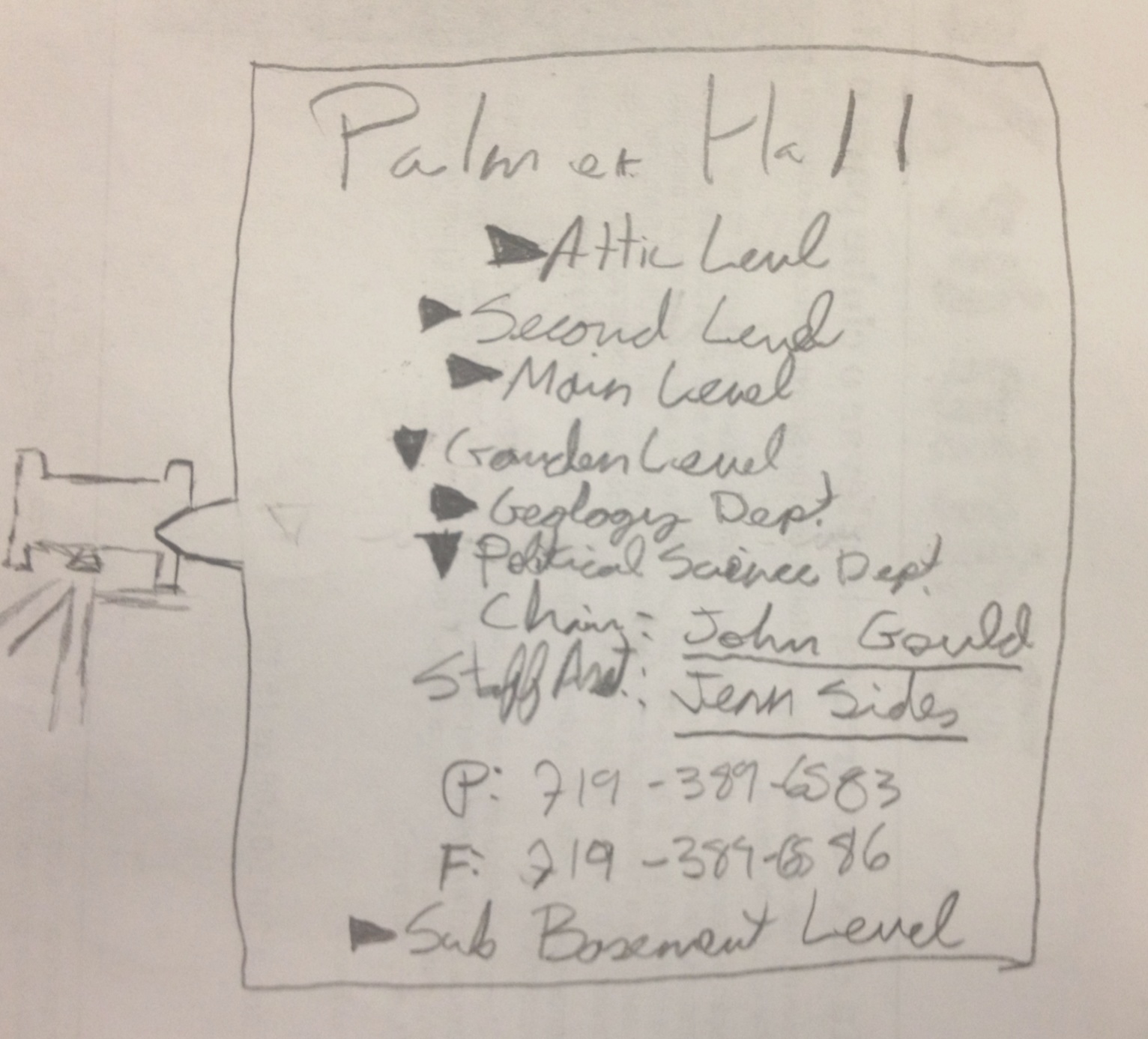
Here’s an (exceedingly) rough sketch of what kind of features and information would be useful to be at students’ fingertips. Buildings like Worner could have the link to Rastall’s menu or the bookstore’s hours. What’s great about GIS is that once this data is collected, it can be used in future projects like a Google Goggles-type VR app.
I need to complete the second half of training before I can truly start to sink my teeth into this project, but I’m already excited to see where this project takes me. I’ll create followup posts as the situation develops.