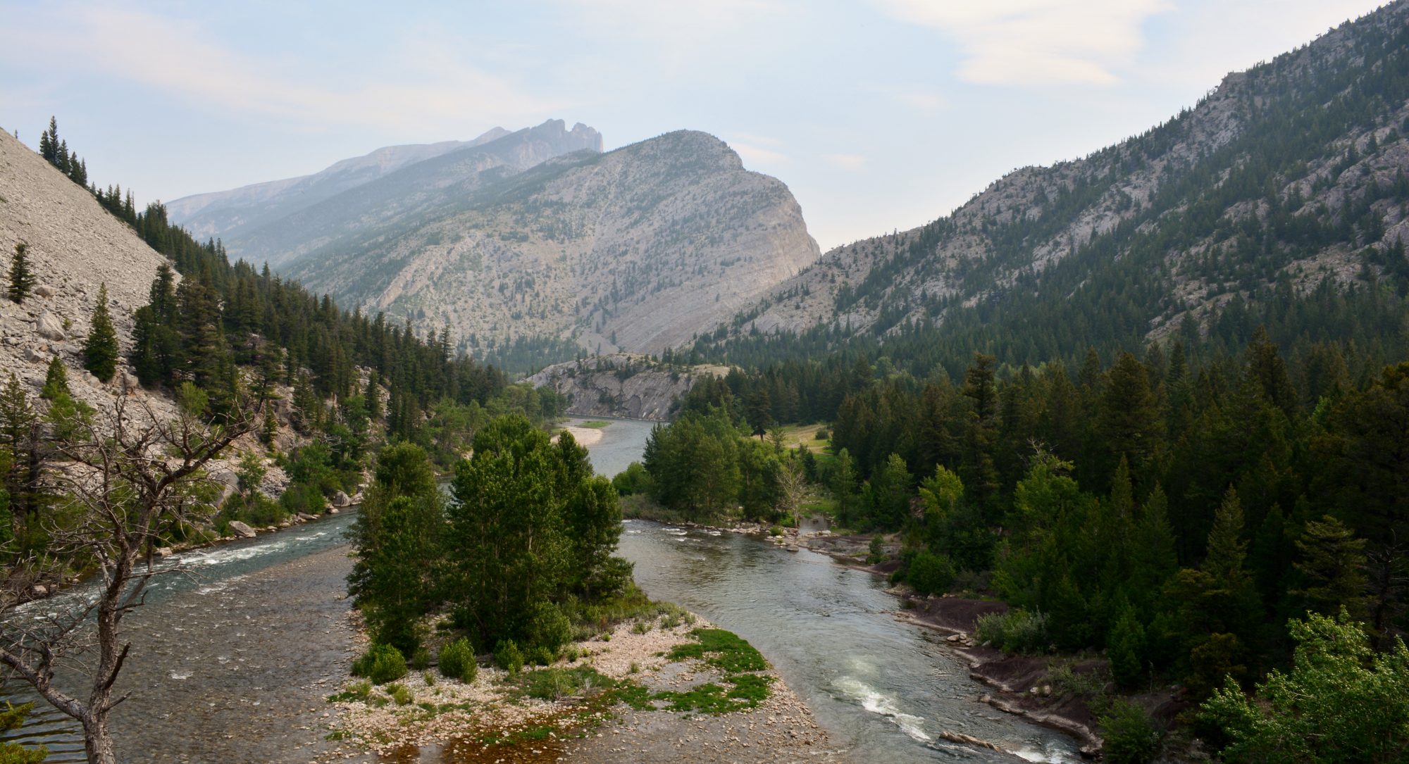
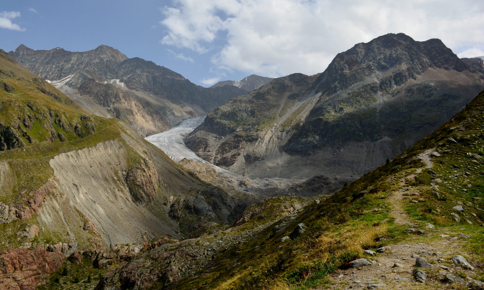
The CC Geomorphology research group studies how rivers in mountainous areas respond to perturbations, including climate, tectonics, humans, landslides, and dams.
If you are interested in doing a research project in Geomorphology, example projects currently ready to go in Summer 2023 are listed below. If you have a research idea of your own you want to pursue, please reach out to see if we can make it happen! Since many student grant opportunities close in February, I encourage you to reach out to me in January. At the latest, please contact me before Fall Preregistration (mid B7) so we can set up your thesis blocks.
Upcoming AY 2023-34 projects
I’m on maternity leave through the summer and will not be taking summer students. I can take ~2-3 students for research conducted through the 2023-34 academic year.
How do bedrock rivers maintain their form? (~2 students)
This work is guided by an NSF grant that investigates how bedrock rivers keep sinuous forms. Unlike alluvial channels, where sediment supplied from cut bank erosion can create new inner banks, bedrock rivers tend to be supply-limited and lack the material to form an inner bank. In the absence of sediment, how do bedrock rivers maintain a stable channel width as they migrate? Why do some bedrock rivers cycle through meander and braided forms while others remain meandering?
In Summer 2023, I’m looking for ~2 students to work on this topic. Specific research topics can vary, but have the opportunity to make use of remote sensing via GIS, numerical modeling, and local field work. I’m also interested in semi-bedrock systems, such as permafrost landscapes; how do rivers in these systems meander?
When did the West Elk Wilderness experience landscape rejuvenation, and how is sediment mixing between hillslopes and tributaries? (1-2 students)
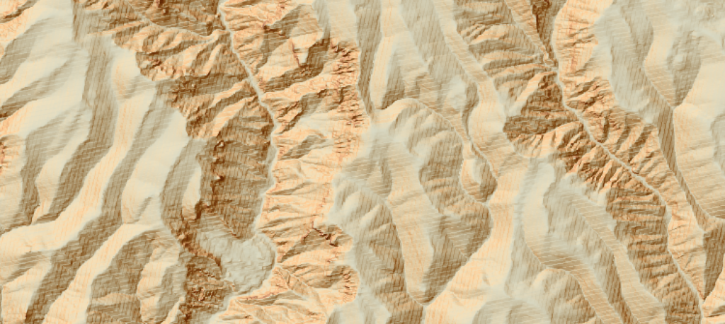
The West Elk Wilderness, near Gunnison, CO, has gentle, low relief upland ridges but gullied and incised valleys – a sure sign of landscape rejuvenation and erosion of a relict landscape. What caused this? When did it start, and how fast has the landscape eroded?
This project would be the first to tackle this question in the West Elks, and would include GIS analysis and Python modeling using the existing Landlab toolkit. I have some rock samples collected, which could be analyzed for mineral content and weight.