Two weeks down, and still no signs of alien life. However, we’re still holding strong. We’ve recently shifted our focus in class to geology, taking a look at the conditions on Earth that have made life possible, and could potentially do so in other solar systems. For this post, we were asked to research significant geological features near our home towns. Little does everyone know, my home town is located in the middle of such a significant feature. Or should I say, on the bottom of one.

Sometime around 13,000 years ago, near the end of the last ice age, Missoula, Montana would actually have rested on the floor a 2,000 feet deep glacial lake. In the picture above (which includes my neighborhood, just near the end of the left-most bridge), the water would have risen to about three quarters of the way between that small white “M” on the mountainside and the summit. The top of the mountain would have been just a tiny island in the middle of a lake that was bigger than Erie and Ontario combined.
Glacial Lake Missoula was formed when the Corellian Ice Sheet encroached southward between modern-day Montana and Idaho, damming the Clark Fork river (as seen above). The resulting build-up of water flooded the valleys of Western Montana for 200 miles eastward.

However, the story doesn’t end there. Sometime after its formation, the water level rose so high that it began to strain the ice dam. Eventually, the 2,500 foot tall wall of ice gave way, and a rush of water with a force 60 times greater than that of the Amazon burst out into eastern Idaho. Travelling at speeds close to 50 or 60 miles per hour flooded out across Idaho and beyond, tearing apart mountains and carving canyons through Western Washington (forming the “Scablands” seen there today), and carrying car-sized boulders some 500 miles.
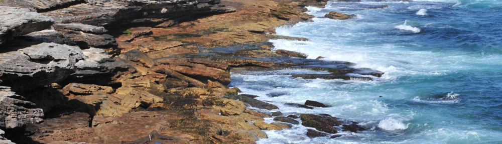
Evidence of this monumental body of water can still be seen today. Apart from the scablands and the Columbia River Gorge, researchers have discovered 13,000 year old ripple marks carved into the valley floors of Montana, products of underwater sediment.

Also, similar marks can be seen on Mount Jumbo, which can be seen from the back door of my house…

… and other sedimentary formations in the surrounding hills point towards an ancient, massive body of water.

http://www.glaciallakemissoula.org/
http://www.nps.gov/history/history/online_books/geology/publications/inf/72-2/images/fig12.jpg
http://en.wikipedia.org/wiki/File:GLMsed.jpg

![]()