Off of the coast of my hometown, Ventura, in southern California, lies the Channel Islands Archipelago. The archipelago contains eight different islands, five of which are part of Channel Islands National Park, split into the Northern Islands and Southern Islands. The Northern Islands include Anacapa, San Miguel, Santa Cruz, and Santa Rosa islands, extending from Santa Barbara to Ventura counties. The Southern Islands are composed of San Clemente, San Nicolas, Santa Barbara, and Santa Catalina. The Southern Islands stretch down to Los Angeles county.
The islands geologic history dates back 100 million years and is a direct result of plate tectonics in the area. Until roughly 30 million years ago, the location of the Channel islands was the location of two tectonic plates, the Farallon Plate and the North American Plate. As the two plate collided, they were destroyed over time by subduction. A marine basin formed and over millions of years, the sediment that washed off the coast collected on the basin, forming the early base for the islands. Once the Farallon Plate was completely gone, the Pacific Plate moved in and began to rub against the North American Plate. This created the famous San Andreas fault in California. The orientation and size of the islands is a direct result of the Pacific Plate coming into contact with the North American Plate. The entire above surface portion of the islands has risen within the last 5 million years.

A map of the Channel Islands, showing both the Northern and Southern island groups. Source: Wikipedia.
Some of the islands are a result of volcanic activity that took place underwater. Anacapa and Santa Barbara islands, for example, are composed almost entirely of volcanic rock. Evidence of this comes in the form of ‘pillow lava’, or lava that originated underwater. Fossilized shells of oysters and other marine species can be found among the pillow lava. The volcanic activity responsible occurred between 19 to 15 million years ago, a period in which lava covered a large portion of the area containing the Northern Channel Islands. Evidence shows that the original islands created from these eruptions and outpouring were significantly larger than the islands that exist now. Some claims even state peaks as high as 5,000 feet. ‘Volcanic bombs’ have been discovered at nearby known volcanic regions, the Conejo Volcanics and Santa Rosa Island Volcanics, supporting the idea of much larger islands. These islands, however, likely eroded very soon after volcanic activity stopped on the islands, leaving the islands we see today.
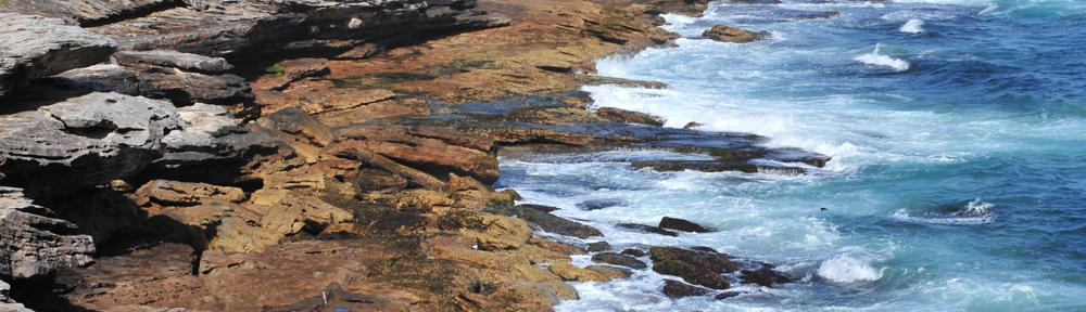
The rocks on the Northern islands are mainly composed of sedimentary rocks made of shale and sandstone, remnants of the era when the islands were formed. The existence of round pieces of rhyolite in the sedimentary layers indicates that the islands originated near San Diego, and have since rotated 90-100 degrees since.
Information obtained from Wikipedia and the official Channel Islands page at the National Park service website.

![]()